- Tíðindi, mentan og ítróttur
Islands mapped in 3D
Islands mapped in 3D
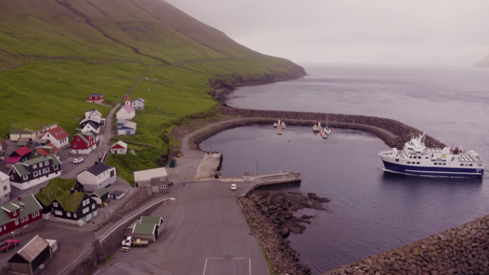
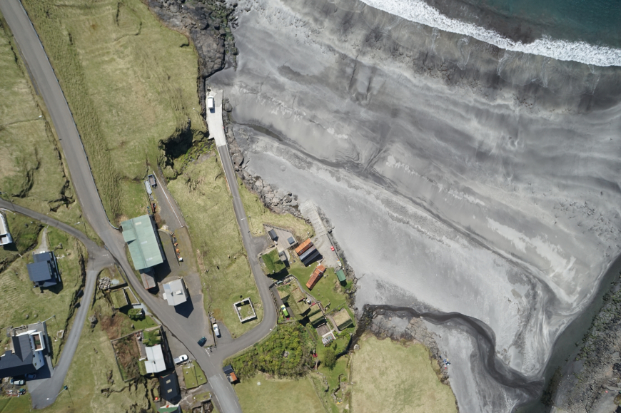
The Environment Agency is using drones to make an aerial survey of all towns and villages in the Faroes
21.08.2019 - 14:21
Two drones are currently flying around the islands to create 3D image maps of all inhabited areas.
The mapping drones fly 100 metres above the ground and take 3D photos which are used to create image maps, height and gradient curves and collect other technical data.
Many towns and villages have already been mapped, but the project will continue over the next couple of years.
Translated by prosa.fo
Er kopiera
Nýggjastu sendingar í ÚV


Nýggjastu sendingar í SV